Unlock hidden treasures

Revolutionize
Resource Exploration
with Remote Sensing powered Geospatial Insights

Empowering Next-Generation Resource Discovery with Cutting-Edge Satellite Remote Sensing Technology

Our services

Radiantrite leverages advanced satellite remote sensing and AI-driven geospatial analysis to transform resource exploration. We provide precise, efficient, and sustainable solutions for detecting and exploring hydrocarbons, geothermal energy, minerals, and rare earth elements. Our services include exploration targeting, change detection, remote asset monitoring, technology transfer, and satellite strategies, ensuring responsible and effective resource management. Explore our diverse offerings to see how we can support your resource exploration needs.

Precision and Efficiency:
The Power of Remote Sensing
in Resource Exploration

Utilize advanced satellite remote sensing and AI to discover resources more efficiently and cost-effectively.
Speed
Traditional exploration methods, like field surveys and drilling, are time-consuming and labor-intensive. Our satellite remote sensing technology drastically reduces the time needed to identify and analyze resource-rich areas.
Efficient
Integrating cutting-edge technology with satellite data, Exploration Targeting cuts costs of traditional exploration methods, lowers operational expenses, and accelerates discovery. This ensures faster, more accurate identification of valuable resources, enhancing exploration project profitability.

Trusted and Proven

Proven Excellence: Trusted by Industry Leaders with a Track Record of Successful Resource Discoveries

2.000.000

kmĀ²

of customer areas processed for analysis

On & Offshore

m

operating depth

On & Offshore


applied around the globe

100


Projects in the Oil & Gas Market

20


Projects in the hard-rock mining

00


Geothermal projects
INSIGHTS

Hydrocarbon
Exploration

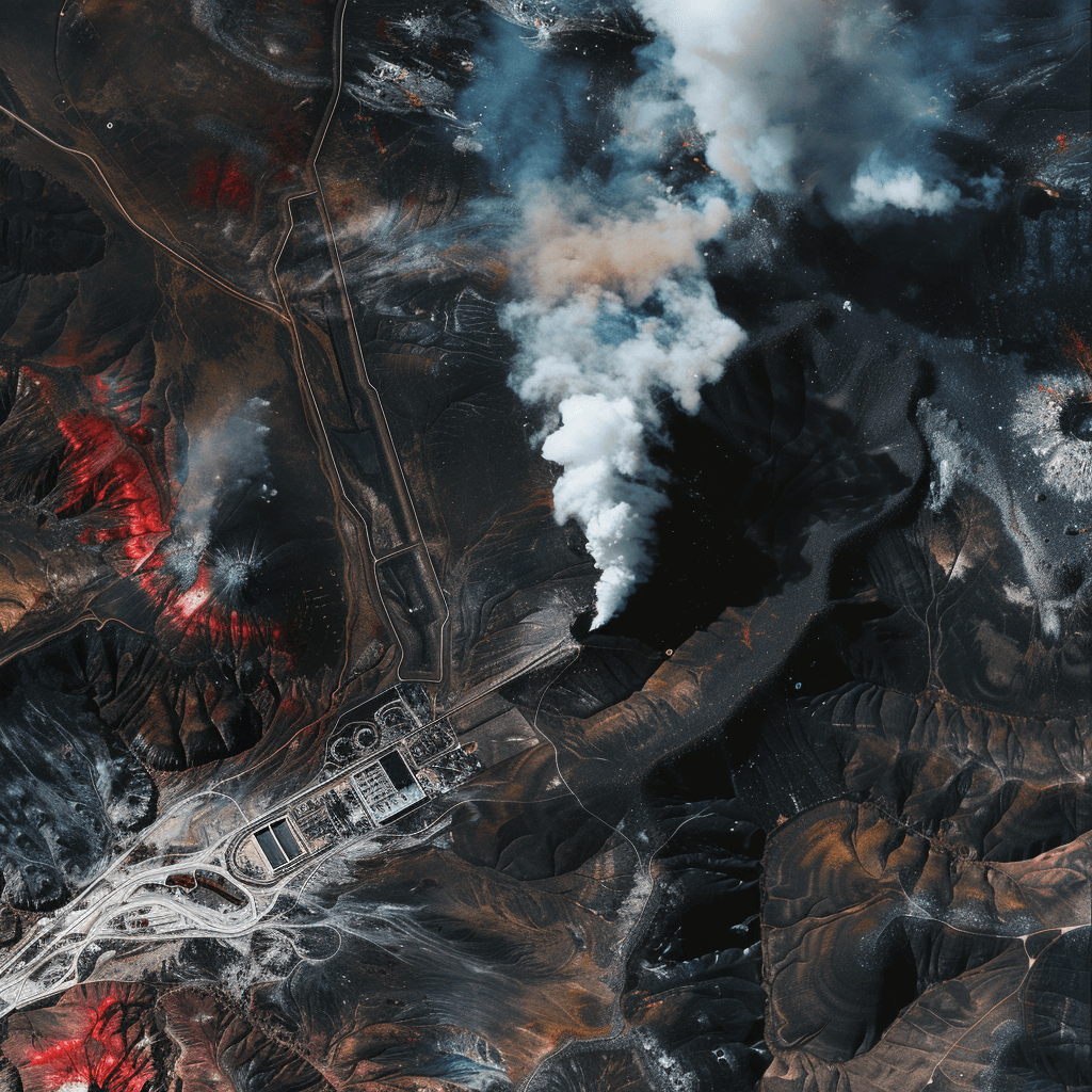
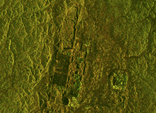
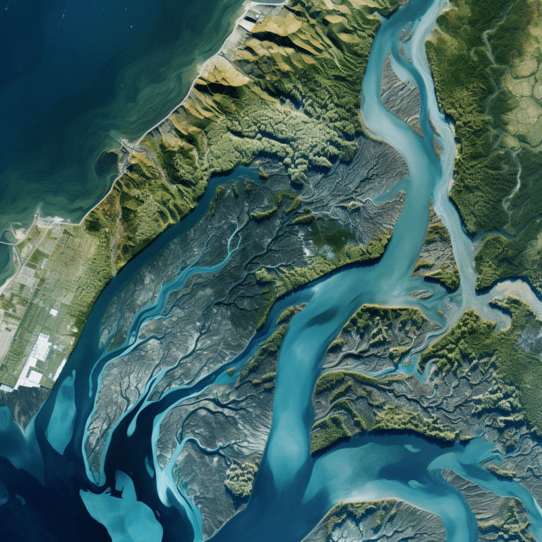
Utilize state-of-the-art satellite-driven remote sensing technology to accurately locate hydrocarbon deposits.
 Our process includes assessment of lineaments, lithology, geo-morphology, and the creation of vertical profiles (virtual wells). We provide model-based assessments of oil and gas volumes and initial production forecasts.
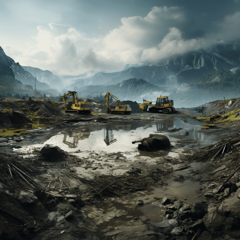
This advanced approach ensures precise targeting, reducing the need for extensive ground surveys and drilling, thereby saving time and costs.

Additionally, our technology allows for continuous monitoring and reassessment, ensuring that your exploration strategies remain optimal and up-to-date with the latest data.
Exploring

Mineral & Rare Earth
Exploration

Monetize your in-ground assets with our cutting-edge remote sensing technology. We specialize in detecting and exploring valuable mineral deposits such as gold, copper, and lithium.
Our services include environmental analysis to monitor the impact of extraction activities, ensuring sustainable practices. This innovative approach allows for quicker and more accurate identification of mineral deposits, minimizing environmental disruption and reducing exploration costs. Furthermore, our continuous monitoring capabilities help in managing and mitigating environmental risks, ensuring that your operations comply with regulatory standards and promote sustainable resource management.
Heating up

Geothermal Energy
Exploration

Identify geothermal hotspots through advanced subsurface data analysis.
Our technology ensures accurate resource estimation and economic assessment, integrating all available data to estimate energy density and create risk profiles. This method provides a faster and more efficient alternative to traditional geothermal exploration techniques. By using satellite data, we can pinpoint potential geothermal sites with greater accuracy, reducing the environmental impact and financial risks associated with traditional exploratory drilling.
Comprehensive

Change Detection &
Asset Monitoring

Daily remote resource site monitoring for terrainchange and asset condition
Using cutting-edge satellite technology, we provide continuous monitoring of resource sites such as quarries and mines. By using multi-data high-resolution Satellite Imagery we are capable of detecting changes in terrain and asset conditions in real-time, allowing for immediate response to potential issues on the highest resolutions. This proactive approach minimizes risks and ensures efficient operation management.
Our Mission

Revolutionizing Resource Exploration with Advanced Satellite Remote Sensing

"Radiantrite is committed to revolutionizing resource exploration through advanced satellite remote sensing and geospatial analysis. Our mission is to empower our clients with precise, efficient, and cost-effective solutions for discovering hydrocarbons, minerals, and rare earth elements
By integrating cutting-edge technology with expert consultancy, we ensure sustainable and responsible exploration practices that meet the highest standards of environmental stewardship and economic viability."