Unlock Hidden Hydrocarbon Reserves
with Advanced Satellite Remote Sensing

Contact us

Why Choose
Satellite Remote Sensing for Hydrocarbon Exploration?

Traditional hydrocarbon exploration methods are often time-consuming and costly, involving extensive field surveys and drilling. At Radiantrite, we leverage state-of-the-art satellite remote sensing technology to transform the way hydrocarbons are discovered. Our advanced techniques provide precise and efficient solutions, significantly reducing exploration costs and accelerating the discovery process. With our technology, you can cover vast areas quickly and gain real-time insights, ensuring a more effective and sustainable exploration strategy.
Our Process

How Radiantrite’s Exploration Targeting Works

Data Collection

We gather data from various satellite providers, elevation and bathymetry to create a comprehensive new dataset.

Advanced Analysis

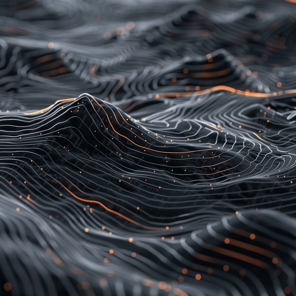
We preprocess and preanalyze our dataset with AI, preparing it for our geological experts. These experts verify the results and perform feature detection to pinpoint resource-rich areas with high precision.

3D Area
Modeling

We preprocess and preanalyze our dataset with AI, preparing it for our geological experts. These experts verify the results and perform feature detection to pinpoint resource-rich areas with high precision.

Results Delievery

We preprocess and preanalyze the multidimensional dataset with AI, preparing it for our geological experts. These experts verify the results and perform feature detection to pinpoint resource-rich areas with high precision.
arrow-right